Malaysia MRT, LRT & Bus Map
Navigation
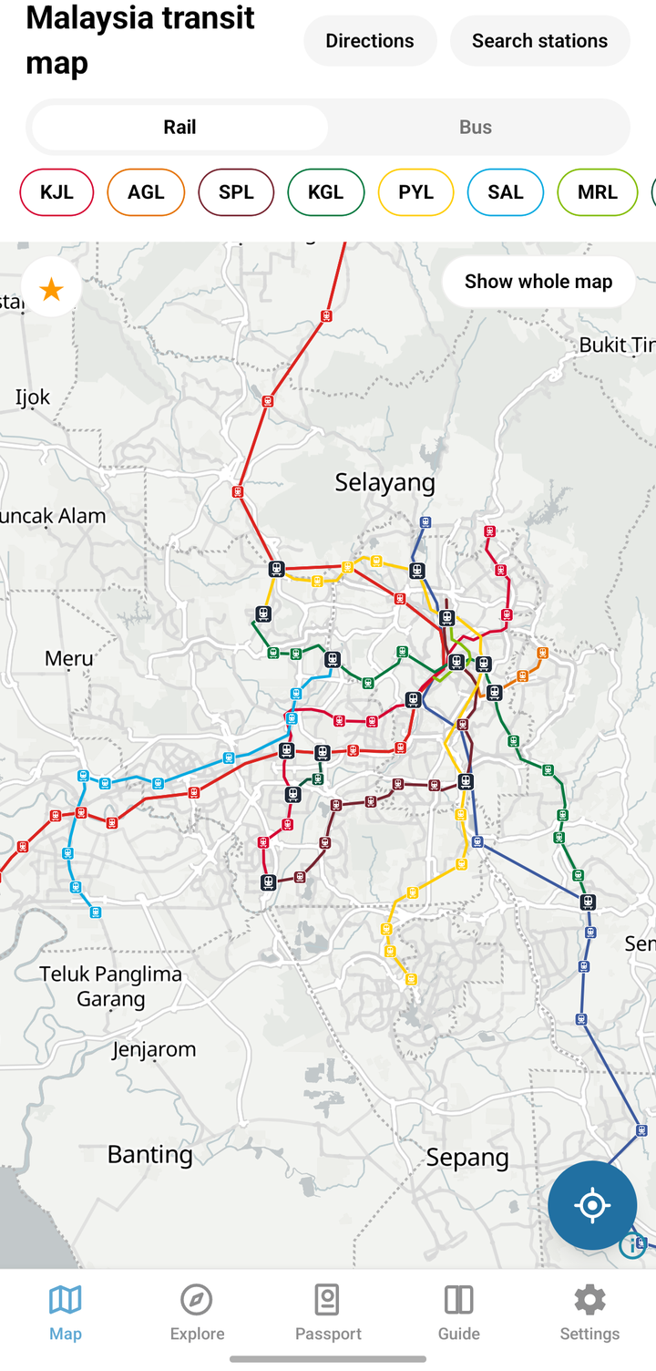
An offline train and bus map for Kuala Lumpur and Malaysia, with directions and live buses.
- Category
- Navigation
- Platform
- Android
- Version
- 0.1.0
- Status
- Coming soon
About Malaysia MRT, LRT & Bus Map
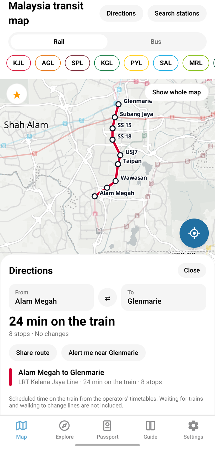
Malaysia MRT, LRT & Bus Map puts the Klang Valley rail network and the bus services of eleven Malaysian cities on one map. Pick two stations and see the scheduled minutes on the train and how many changes. The timetables are inside the app, so train directions, station cards and bus routes work with no signal.
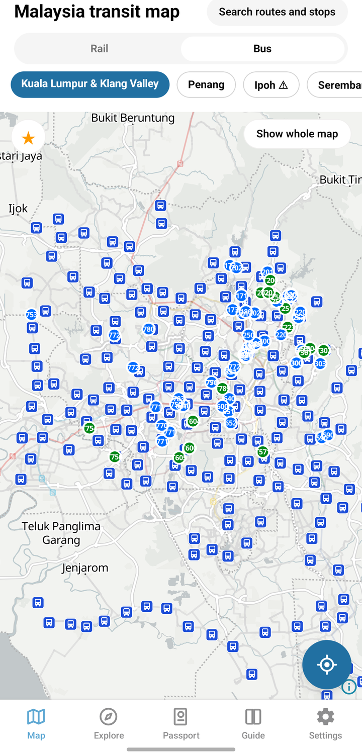
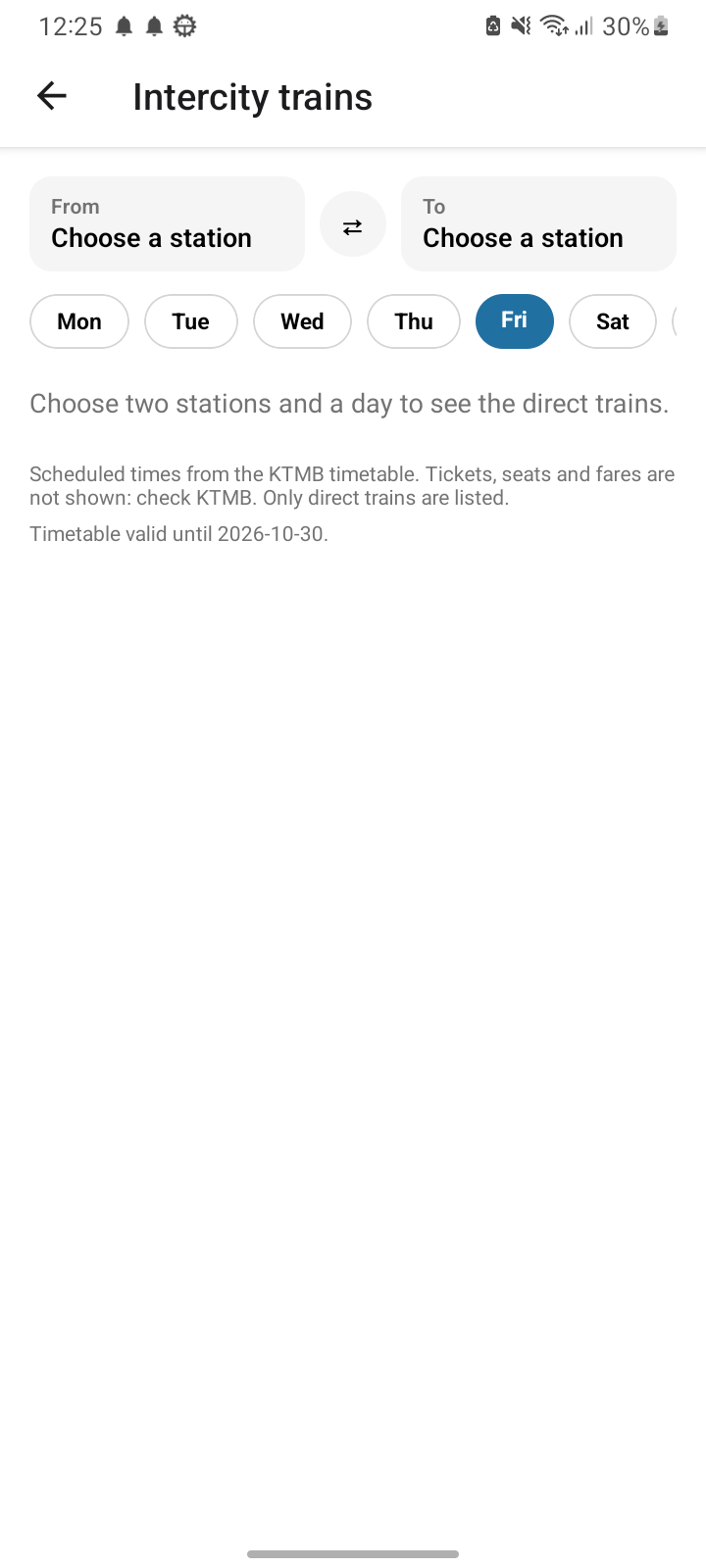
Rail covers the LRT, MRT, Monorail, BRT Sunway and KTM Komuter lines. Buses cover Kuala Lumpur, Penang, Ipoh, Seremban, Melaka, Johor Bahru, Alor Setar, Kangar, Kota Bharu, Kuala Terengganu and Kuching: search a route to draw it with all its stops, and watch live bus positions move on the map. A list of intercity departures covers ETS and other KTM long-distance trains between two stations.
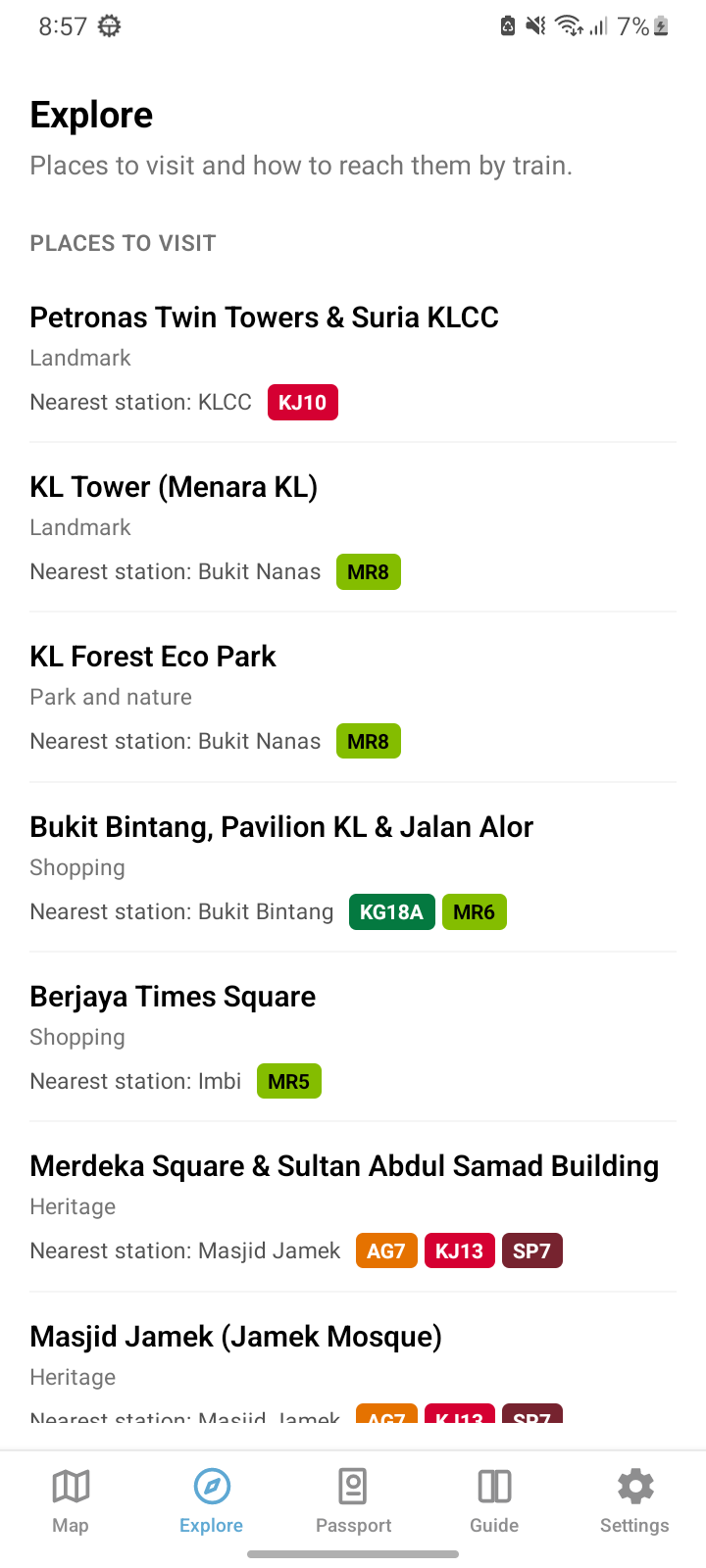
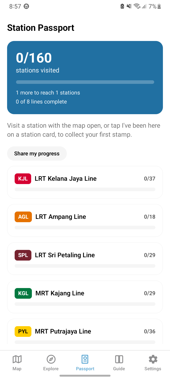
Collect a stamp for every Rapid Rail station you visit in the Station Passport, set an alarm to be alerted near your stop, and browse places to visit with their nearest station. There is no account. The app is free with ads, and a one-time purchase removes them. English, Bahasa Melayu, 简体中文, Bahasa Indonesia and বাংলা. Unofficial: not affiliated with Prasarana, Rapid KL, KTMB, BAS.MY, Touch 'n Go or any operator or government body. It shows scheduled times only, with no fares or bus arrival times, and it cannot read Touch 'n Go cards.
Offline train directions
Choose two stations for the scheduled time on the train and the number of changes. No download and no signal needed.
Buses in 11 cities
Search a route to see all its stops, and watch live bus positions on the map in Kuala Lumpur and other cities.
Station Passport and alarm
Stamp every Rapid Rail station you visit, and get alerted when you are close to your stop.
No account
Your location is used on your phone only, to show what is near you, and is never stored or sent to us.
Take a look